
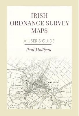
Irish Ordnance Survey Maps
€25.00
Sold out
Sold out
Product Details
ISBN: 9781916742062
Author: Paul Mulligan
Format: Paperback
A myriad of descriptive names and abbreviations have appeared on Irish Ordnance Survey maps since the 1830’s when the first six-inch maps were published. Although many of these descriptive names do not require explanation, there are some which may be unfamiliar to the reader. For example, on historical maps, there are terms and abbreviations encountered which are now obsolete. OS mapping may also have geological, topographical, archaeological, botanical and cartographic terms, administrative divisions and Irish language terms which require definition or translation. It is such terminology which is the focus of this book. In general, terms included in the glossary have appeared on or in the margins of Irish Ordnance Survey fair plans and printed maps. Also included are terms for some features which, though well displayed on the maps, are not named. Others have been included to add context to terms elsewhere in the glossary. In addition to the glossary of terms and full list of abbreviations, also included are: a table of scales used on Irish OS maps, a list of imperial measurements and metric equivalents, a table of placename changes, an archaeological time chart for Ireland, a list of online resources and a bibliography
Irish Ordnance Survey Maps
You May Also Like

Display prices in:EUR